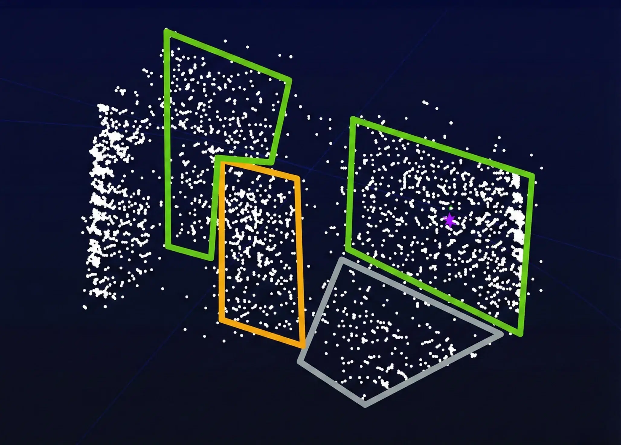
Optimize LIDAR data processing. Implemented custom logic analysis and software to DMA FPGA signal history, aiding debug and verification.
For an autonomous vehicle project, ALTEN Technology was tasked with enhancing a client’s prototype LIDAR system, which initially suffered from a lack of real-time data processing and limited 2D visualization. ALTEN Technology initiated the project with an on-site visit to thoroughly understand the existing system and define precise requirements across electronics, firmware, visualization, and packaging to develop a highly functional and compact solution. The successful outcome saw ALTEN Technology integrate the client’s FMCW LIDAR technology with their advanced electronics and software, culminating in a real-time 3D point-cloud visualization system. This achievement included consolidating a vast array of hardware and electronics into a single, manageable benchtop system and implementing custom logic analyzer and software packages to facilitate crucial system debugging and verification. Ultimately, ALTEN Technology transformed an initial optical system into a unified, real-time LIDAR-producing system within a rapid three-month timeframe.